
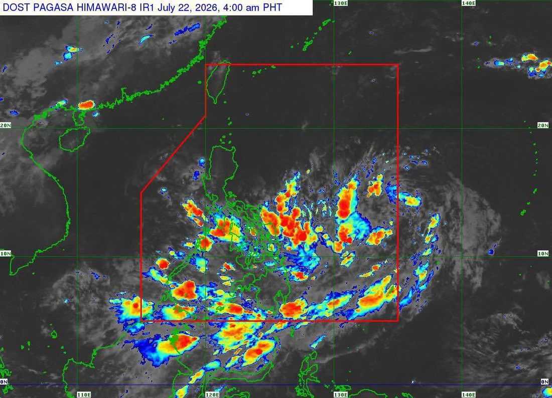
A low pressure area (LPA) east of the country is likely to enter the Philippine Area of Responsibility (PAR) on Wednesday morning and has a "high" chance of developing into a tropical depression, the Philippine Atmospheric, Geophysical and Astronomical Services Administration (PAGASA) said.
As of 3 a.m. Wednesday, the LPA was estimated at 1,200 kilometers east of southeastern Luzon, PAGASA said in its 5 a.m. briefing.
According to PAGASA, the weather disturbance has a high chance to develop into a tropical depression within the next 24 hours.
Once the LPA develops into a cyclone and enters PAR, it will be assigned the local name Kiyapo.
Weather specialist Aldczar Aurelio said the weather system may continue to strengthen into a tropical storm and is projected to cross Northern Luzon between Friday and Saturday.
He clarified that the LPA has no direct effect on the country as of Wednesday morning.
The enhanced southwest monsoon, or Habagat, may bring rains over large parts of the Philippines in the coming days.
The Bicol Region, Palawan, the Visayas, and Mindanao are forecast to experience cloudy skies with scattered rain showers and thunderstorms due to the trough or extension of the LPA and the southwest monsoon on Wednesday.
It may also bring moderate to heavy rains over SOCCSKSARGEN and the mainland Bangsamoro Autonomous Region in Muslim Mindanao (BARMM) through Thursday, as well as Negros and Antique through Friday.
Meanwhile, most areas in Northern Luzon may also experience moderate to heavy rainfall as the weather system approaches and passes through the region later this week.
PAGASA advised the public to continue monitoring its latest weather bulletins, noting that the forecast track and intensity of the weather disturbance may still change.
The state weather bureau also urged residents in areas prone to flooding and landslides to remain vigilant and take necessary precautions amid the expected heavy rains.
