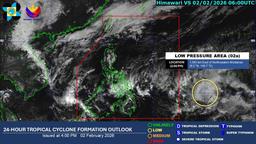
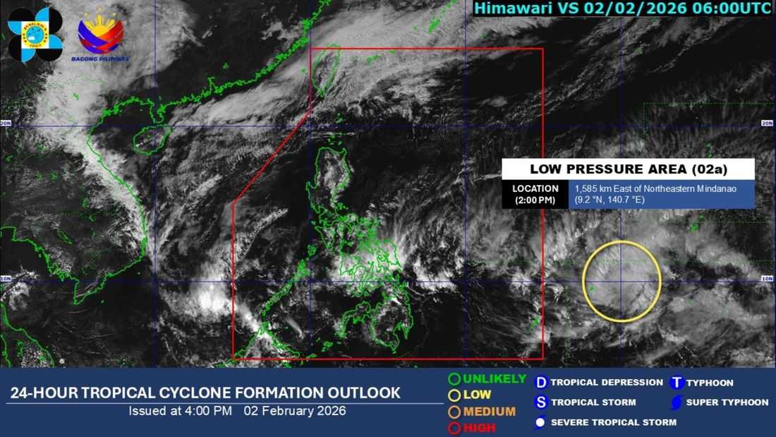
The low pressure area (LPA) being monitored outside the Philippine Area of Responsibility (PAR) has a low chance of developing into a tropical depression within the next 24 hours, the PAGASA said.
As of 2:00 PM on Monday, February 2, the state weather bureau said that LPA (02a) was located at 1.585 km East of Northeastern Mindanao. The PAGASA’s weather forecast also indicated that the LPA has no direct effect on the country’s weather.
Due to the shearline, rainshowers are expected for the next 24 hours in Visayas, including portions of the Bicol region and Caraga.
Meanwhile, Metro Manila and other nearby areas can expect generally fair weather. However, the PAGASA reminded that the northeast monsoon may still affect the weather in Luzon. There is also a chance of localized thunderstorms in Mindanao.
The possibility of the LPA intensifying into a tropical cyclone is not ruled out, Weather Specialist Daniel James Villamil said. In the coming days, the LPA may move towards the east of Visayas and Mindanao, and may affect a huge portion of Southern Luzon, Visayas, and Mindanao.