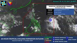
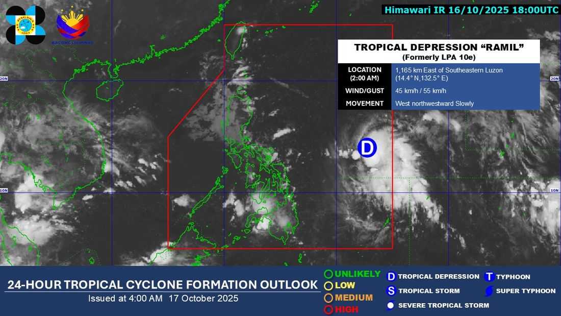
The low pressure area (LPA) being monitored within the Philippine Area of Responsibility (PAR) has developed into a tropical depression named "Ramil," PAGASA reported early Friday, October 17.
As of 5 a.m., Ramil was located 1,145 km east of Southeastern Luzon, with maximum sustained winds of 45 km/h near the center, gusts of up to 55 km/h, and a central pressure of 1004 hPa. The system is moving slowly west-northwestward.
Extent of Tropical Cyclone Winds: Strong winds extend up to 350 km from the center.
Tropical Cyclone Wind Signals (TCWS) have been raised in the following areas:
Luzon:
-
Easternmost portion of Quezon (Tagkawayan)
-
Camarines Norte
-
Catanduanes
-
Camarines Sur
-
Albay
-
Northern and eastern portions of Sorsogon (Donsol, Pilar, Castilla, City of Sorsogon, Gubat, Prieto Diaz, Casiguran, Barcelona, Bulusan)
Visayas:
-
Eastern portion of Northern Samar (Laoang, Catubig, Palapag, Mapanas, Gamay, Lapinig, Pambujan, San Roque)
PAGASA warned that minimal to minor impacts from strong winds are possible in areas under Wind Signal No. 1.
“The highest wind signal likely to be hoisted throughout its passage is Wind Signal No. 2. However, the possibility of reaching severe tropical storm category before landfall is not ruled out. The worst-case scenario is Wind Signal No. 3,” PAGASA said.
The periphery of Ramil and the easterlies are also expected to bring strong to gale-force gusts over the following areas not under wind signal, particularly in coastal and upland regions:
-
Today: Cagayan Valley, Ilocos Norte, Ilocos Sur, Aurora, Quezon (including Polillo Islands), Sorsogon, Marinduque, Mindoro provinces, Masbate, and Northern Samar.
Forecast Track
Ramil is expected to move generally westward until tomorrow, then turn west-northwestward toward Central and Southern Luzon. On this track, the center may pass close to Catanduanes on October 18 (morning or afternoon) and may make landfall in Aurora or Quezon by October 19 (morning or afternoon).
A southward shift in the track could change the landfall area and expand the localities under wind signals. After landfall, Ramil may traverse the rugged terrain of Northern or Central Luzon, emerge over the West Philippine Sea by Sunday afternoon or evening, and exit the PAR by Monday morning, October 20.