
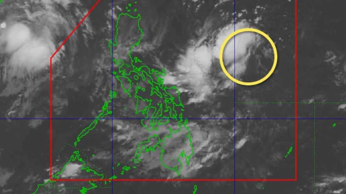
A low pressure area (LPA) being monitored inside the Philippine Area of Responsibility (PAR) has a low chance of developing into a tropical depression within the next 24 hours, the state weather bureau said early Saturday.
In its 4 a.m. advisory on August 1, the Philippine Atmospheric, Geophysical and Astronomical Services Administration (PAGASA) said the weather disturbance was last spotted about 960 kilometers east of southeastern Luzon.
Despite its presence within PAR, PAGASA said the LPA is not expected to directly affect any part of the country. However, its trough, or extension, is already bringing rains over portions of eastern Luzon and parts of the Visayas.
For Saturday, the trough of the LPA is forecast to bring scattered rains over the Bicol Region, Quezon and Marinduque. Authorities warned residents in these areas, especially those that have experienced consecutive days of rainfall, to remain alert for possible flooding and landslides.
Metro Manila and the rest of Luzon are expected to experience partly cloudy to cloudy skies with chances of localized thunderstorms, particularly in the afternoon or evening.
In the Visayas, the trough will continue to bring rains over eastern and central sections, while the rest of the region, along with Mindanao, will have generally fair weather with isolated thunderstorms.
Looking ahead, PAGASA said rains may persist in Bicol Region and Quezon by Sunday, with wider areas including CALABARZON, MIMAROPA and Bicol likely to experience wet conditions from Monday to Tuesday. By Wednesday, rainfall may extend further into Central Luzon.
In the Visayas, rainy conditions may expand across both western and eastern sections by Sunday, becoming more widespread across the region, including parts of Northern Mindanao and Zamboanga Peninsula, early next week before easing by midweek.
PAGASA added that no other LPAs or tropical cyclones are currently being monitored within or near PAR.
The agency also advised the public to continue monitoring official updates, noting that weather forecasts beyond three to five days may still change.
