
A low pressure area (LPA) and the Intertropical Convergence Zone (ITCZ) are expected to bring cloudy skies, scattered rains, and thunderstorms over several parts of the country on Thursday, September 17, according to the Philippine Atmospheric, Geophysical and Astronomical Services Administration (PAGASA).
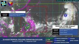
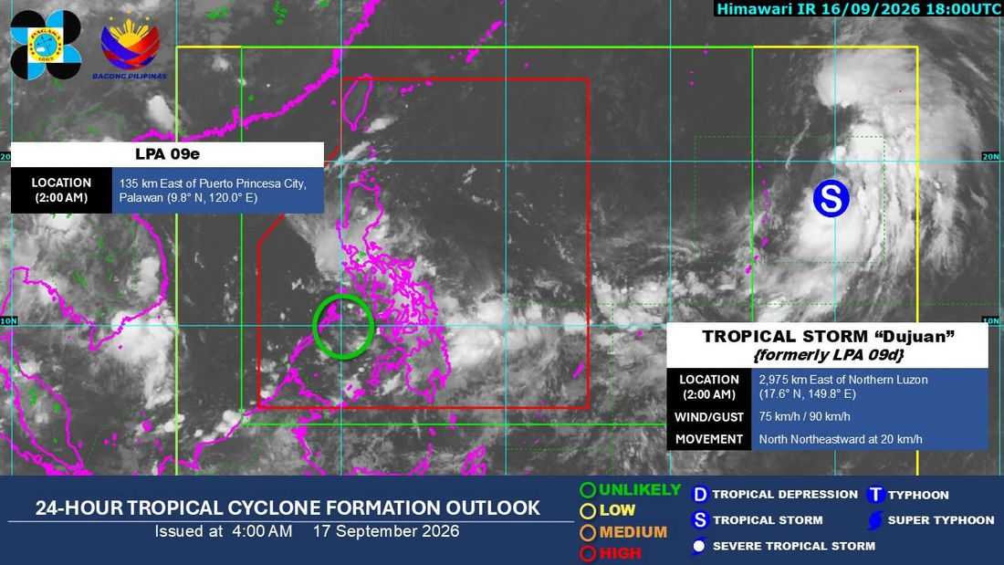
As of 3 a.m., the LPA was estimated at 125 kilometers east of Puerto Princesa City, Palawan, based on all available data.
The weather disturbance is embedded along the ITCZ, which is affecting Southern Luzon, the Visayas, and Mindanao.
PAGASA said the Visayas, MIMAROPA, Bicol Region, Zamboanga Peninsula, Bangsamoro Autonomous Region in Muslim Mindanao (BARMM), Northern Mindanao, Caraga, Batangas, Quezon, Davao del Norte, Davao de Oro, and Davao Oriental will experience cloudy skies with scattered rains and thunderstorms due to the ITCZ and LPA.
Meanwhile, the rest of Mindanao will have partly cloudy to cloudy skies with isolated rainshowers or thunderstorms, also due to the ITCZ.
Metro Manila and the rest of Luzon will experience partly cloudy to cloudy skies with isolated rainshowers or thunderstorms caused by localized thunderstorms.
Tropical Storm Dujuan
Meanwhile, Tropical Storm Dujuan (2625) remained outside the Philippine Area of Responsibility (PAR) as of 3 a.m.
Dujuan was located 2,970 kilometers east of Northern Luzon, with maximum sustained winds of 75 kilometers per hour near the center and gustiness of up to 90 kilometers per hour.
It was moving north-northeastward at 20 kilometers per hour.
PAGASA will continue to monitor both weather disturbances and issue updates as necessary.
