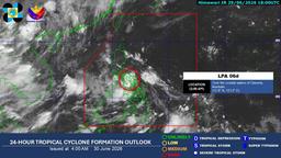
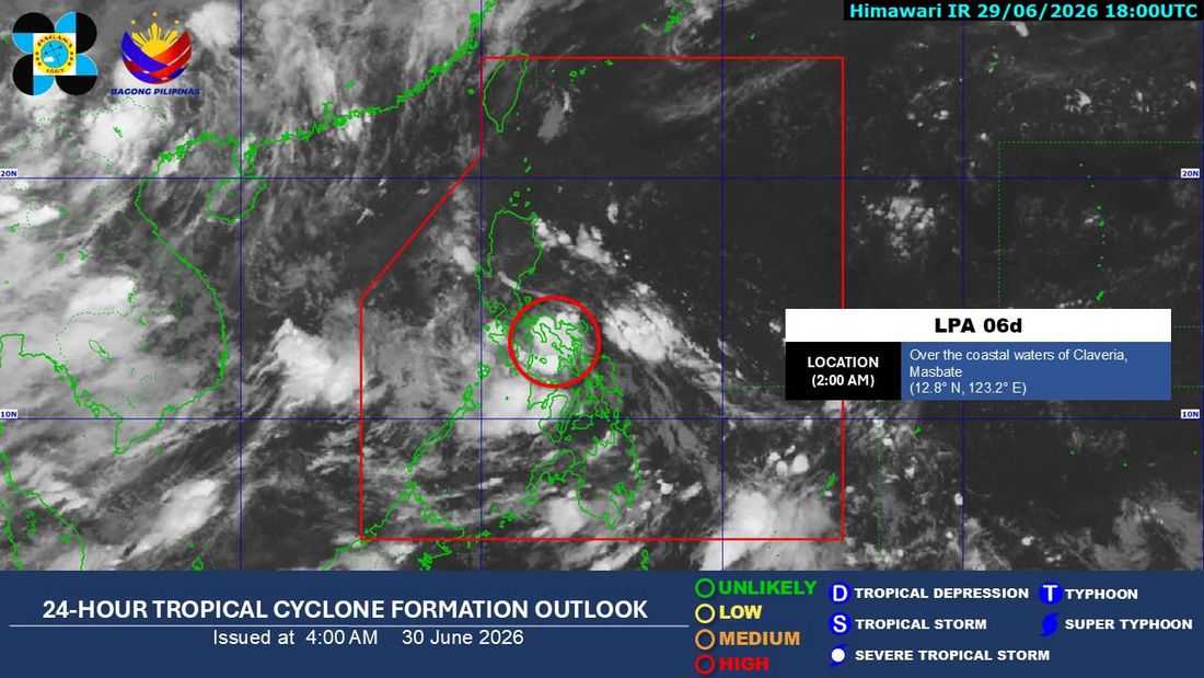
The low-pressure area (LPA) inside the Philippine Area of Responsibility (PAR) has a high chance of developing into a tropical depression within the next 24 hours, the Philippine Atmospheric, Geophysical and Astronomical Services Administration (PAGASA) said Tuesday, June 30.
In its latest weather briefing, PAGASA weather forecaster Chanel Dominguez said the LPA was last spotted over the coastal waters of San Pascual, Masbate.
Should the weather disturbance intensify into a tropical depression, it will be named Henry, while Tropical Cyclone Wind Signal No. 1 may be raised over parts of Southern Luzon and the Visayas.
PAGASA urged the public to closely monitor official weather advisories as the system continues to develop.
Despite the weakening of the southwest monsoon or Habagat, which is now mainly affecting Palawan, the LPA is expected to bring scattered rains and thunderstorms over Metro Manila, Calabarzon, the Bicol Region, Mindoro, Marinduque, and Romblon throughout the day.
The rest of Luzon is forecast to experience partly cloudy to cloudy skies with isolated rain showers or thunderstorms, particularly in the afternoon and evening.
Scattered rains are also expected across the Visayas due to the LPA, while Palawan will continue to experience rains caused by the southwest monsoon.
Meanwhile, Mindanao is expected to have generally fair weather, although localized thunderstorms may trigger isolated rain showers, especially during the afternoon and evening.
PAGASA also warned of moderate to heavy rainfall ranging from 50 to 100 millimeters over Occidental Mindoro, Oriental Mindoro, Marinduque, Romblon, Aklan, and Capiz as the LPA crosses the Philippine landmass.
The state weather bureau cautioned residents in affected areas against possible flash floods and landslides, urging them to heed the advisories of local government units and disaster response officials.
By Wednesday, the LPA is expected to emerge over the West Philippine Sea, but heavy rainfall of 50 to 100 mm may still affect Occidental Mindoro and Palawan.
On Thursday, July 2, Palawan is expected to continue experiencing moderate to heavy rains as the developing cyclone enhances the southwest monsoon.
As of Tuesday morning, PAGASA said no gale warning had been raised over any of the country's seaboards.