
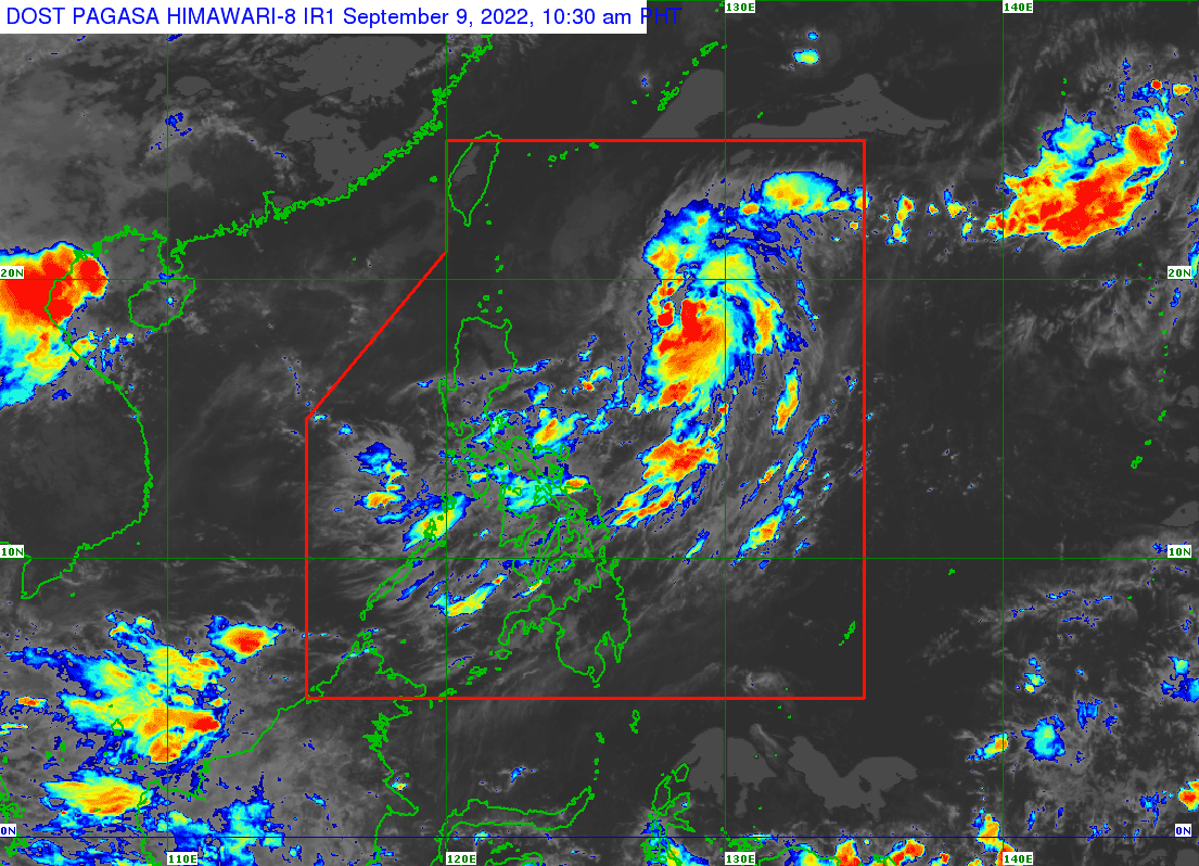
Tropical storm Inday has intensified into a severe tropical storm on Friday morning as it accelerates to northwestward, bringing rain showers in in different parts of the country.
In its 11 AM bulletin, state weather bureau PAGASA said the center of STS Inday was last seen at 800 km East of Aparri, Cagayan. It is moving northwestward at 20 km/h and has maximum sustained winds of 95 km/h near the center, gustiness of up to 115 km/h, and central pressure of 996 hPa.
PAGASA noted that hoisting of Tropical Cyclone Wind Signals over any land area in the country due to Inday remains unlikely as Inday is also less likely to bring heavy rains throughout the forecast period.
Moderate to rough seas of up to four meters are expected over the seaboards of Batanes and Babuyan Islands starting on Saturday.
STS Inday is expected to move generally northwestward over the Philippine Sea until Sunday before turning more north northwestward or northward over the sea east of Taiwan while decelerating, according to PAGASA.
Inday may exit the Philippine Area of Responsibility early next week.
“However, the slightly cooler waters east of Taiwan and the forecast slow-down period over this sea area may result in a weakening trend beginning Monday,” PAGASA said.
