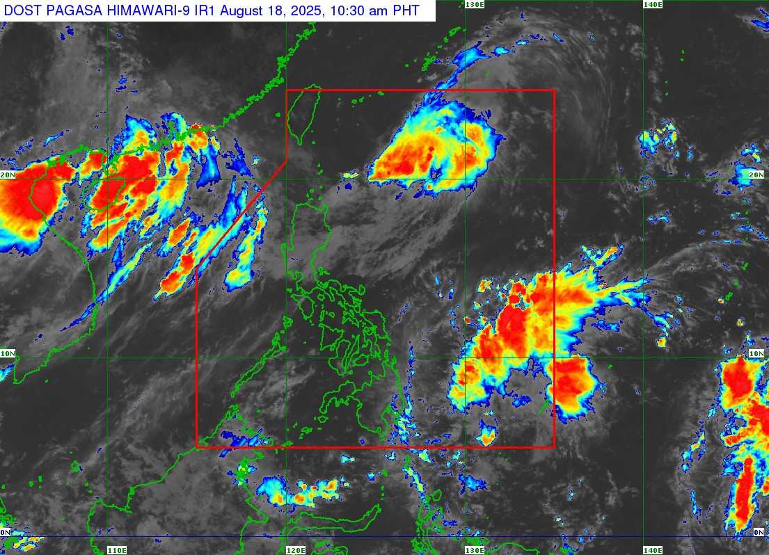
The monitored low-pressure area (LPA) in the northeastern part of the Philippine Area of Responsibility (PAR) has developed into a tropical depression “Huaning”, and is slightly intensifying while moving slowly, according to the Department of Science and Technology – Philippine Atmospheric, Geophysical and Astronomical Services Administration (DOST-PAGASA).
As of 10 a.m., the tropical depression is currently located 535 km east northeast of Itbayat, Batanes, with maximum sustained winds of 55 km/h up to 70 km/h near the center.
The present movement of Huaning is slowly going north northwestward, with strong winds that extends outwards up to 270 km from the center.
PAGASA said Huaning is unlikely to directly affect the country and the sea condition in the coastal waters of the country.
Moreover, Huaning will likely remain as a tropical depression throughout the forecast period, and is expected to exit PAR tonight or tomorrow morning, August 19.
Huaning is the 3rd typhoon for this month of August, which makes it the 8th typhoon for this year 2025.