
Geologist and Project NOAH Director Dr. Mahar Lagmay urged Filipinos to strengthen disaster preparedness following a string of strong earthquakes that recently hit the Visayas and Mindanao.
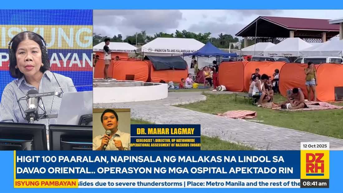
In an interview on DZRH’s Isyung Pambayan, Lagmay said that while the country typically records at least 20 low-intensity earthquakes daily, recent activity has intensified — with a magnitude 6.9 in Cebu on September 30, a 7.4 in Manay, Davao Oriental on October 10, and a 6.0 in Surigao del Sur on October 11.
“Ang ibig sabihin niyan ay talagang dapat prepared and ready tayo. Alalahanin natin ‘yong mga babala na dapat tayo ay nagpe-prepare dahil ang Philippines ay nasa Pacific Ring of Fire. Napakadami nating mga faults na pwedeng mag-generate ng earthquake.”
He warned that even Metro Manila residents must not be complacent, as the so-called “Big One” remains a possibility.
“Pati sa Metro Manila dapat asahan natin ‘yong ‘The Big One’ [ay] darating. Kaya kailangan tayo ay handa at pagigihin din ng ating mga scientists, engineers ‘yong kanilang mga gawa; pati lahat ng mga tao ay kailangan nagtutulong-tulungan. Kasi malaki ang ating problema.”
Why Cebu Experienced Heavier Damage
Lagmay explained that the epicenter of the Cebu quake was located between Leyte and Cebu, with ruptures occurring on land near Bogo City.
“‘Yong fault ng epicenter ay nasa gitna ng Leyte at Cebu. ‘Yong rupture meron sa on land, in land at malapit ito sa Bogo City. Nag-shake ‘yan at meron tayong mga buildings na napuna namin ay nasa naturally hazardous areas din.”
He noted that the most affected zones were likely liquefiable areas, steep slopes prone to landslides, and coastal regions.
“Siguro liquefiable ‘yong area, nagka-waterways. Doon sa landslide areas, matarik, nagiba ‘yong bahay, tsaka coastal areas [na] liquefiable [din]. ‘Yon pong mga bagay, mga hazards po ‘yan na associated with earthquakes na pwede natin pag-igihin pa.”
Although the full extent of damage remains under assessment, he stressed the need to review urban planning and structural safety, especially in hazard-prone zones.
Are the Earthquakes Connected?
When asked if the earthquakes in Cebu and Davao Oriental were related, Lagmay said that while the phenomenon of stress transfer can occur between nearby faults, the two quakes likely originated from separate systems.
“Merong tinatawag na stress-transfer. ‘Yong stress transfer, magkakalapit ‘yan.”
However, he clarified that the distance between Cebu and Davao Oriental is considerable and that their sources differ.
“Yong fault na pinanggalingan ay iba, ito ay Philippine Trench, ‘yong pinanggalingan sa Mindanao at malalim.”
He explained that the Philippines sits between the Philippine Sea Plate and the Eurasian Plate, two major tectonic plates that continuously collide, building up geological stress.
“Ang Pilipinas ay pumapagitna sa Philippine Sea Plate at Euroasian Plate at nagbubungguan ito. Nasa Pacific Ring of Fire rin ang Pilipinas sa malalaking bato ang nagkukumpulan para mag-accumulate ng stress dito sa parte ng mundong ito... Kung ganon ang usapan baka magkaugnay na.”
Updating Hazard Maps and Preparedness
Lagmay shared that Project NOAH is actively updating hazard maps to improve the identification of natural hazards across the country.
“Sa tingin ko ay marami pa tayong kailangan gawin. Base na lamang sa experience natin na nangyari sa Cebu na unidentified ‘yong fault, na ‘yon pala eh pwede namang mahanap noong 2014 pa kasi meron na tayong teknolohiya na pwedeng ma-identify ‘yon at kung napag-aralan natin nang mas mabuti, eh mas handa sana ‘yong mga Cebuano sa Northern Cebu.”
He emphasized that earthquake drills alone are not enough to save lives.
“‘Yong duck, cover and hold kulang ‘yon, kailangan pag-isipan natin nang mabuti kung paano pa natin pagagandahin ang ating mga paraan kung paano makakabawas ng pagkamatay at tsaka ng loss of property. The earthquake per se does not kill. It’s the hazard that kills.”