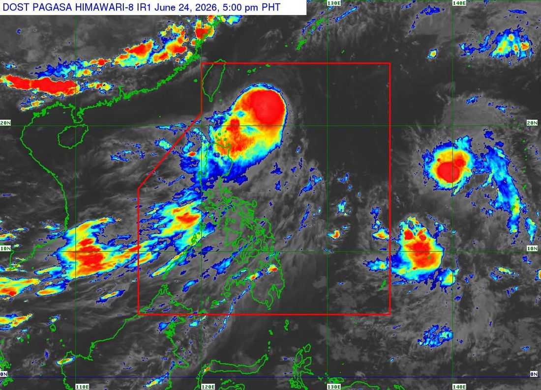
Typhoon Francisco is forecast to exit the Philippine Area of Responsibility (PAR) on Thursday (June 25) afternoon or evening, the PAGASA said.
As of 5:00 PM on Wednesday, June 24, Francisco weakened while moving northward over the Philippine Sea east of Southern Taiwan. The state weather bureau said its center was located at 320 km east northeast of Itbayat, Batanes.
It has maximum sustained winds of 130 km/h near the center, gustiness of up to 160 km/h, and central pressure of 970 hPa.
It is currently moving northward at 15 km/h.
Meanwhile, Tropical Cyclone Wind Signal (TCWS) No. 1 is currently in effect in Batanes and the northeastern portion of Cagayan (Gonzaga, Santa Ana), including Babuyan Islands.
Francisco will continue moving northward within the next 12 hours before turning north-northeastward towards the Ryukyu Islands and sea south of mainland Japan.
According to PAGASA, it will likely remain a typhoon while in the PAR region.