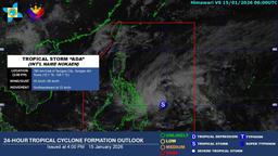
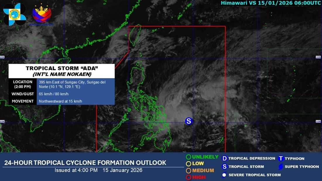
Tropical Depression Ada has intensified into a Tropical Storm on Thursday, January 15, the PAGASA said.
Based on its tropical cyclone formation outlook issued at 4:00 PM, “Ada” is being monitored inside the Philippine Area of Responsibility (PAR), and has an international name of “Nokaen.”
It was located at 395 km east of Surigao City, Surigao del Norte. It has maximum sustained winds of 65 km/h and gustiness of 80 km/h. It has a central pressure of 998 hPa.
It is currently moving northwestward at 15 km/h.
Based on its bulletin issued at 5:00 PM, Tropical Cyclone Wind Signal (TCWS) No. 1 is currently hoisted in the following areas:
LUZON
- The eastern portion of Camarines Sur (Caramoan, Presentacion, Garchitorena)
- Sorsogon
- the southeastern portion of Albay (Rapu-Rapu, Manito, Legazpi City, Bacacay, Santo Domingo, City of Tabaco, Malilipot, Malinao, Tiwi)
- Catanduanes
VISAYAS
- Northern Samar
- Samar
- Eastern Samar
- the eastern portion of Biliran (Maripipi, Kawayan, Culaba, Caibiran, Cabucgayan)
- the eastern portion of Leyte (Carigara, Barugo, San Miguel, Babatngon, Tacloban City, Tunga, Jaro, Alangalang, Santa Fe, Palo, Dagami, Pastrana, Tanauan, Tabontabon, Julita, Dulag, Tolosa, La Paz, Mayorga, Macarthur, Javier, Abuyog, Mahaplag)
- the eastern portion of Southern Leyte (Silago, Sogod, Libagon, Saint Bernard, Hinunangan, Hinundayan, Anahawan, San Juan, Liloan, San Ricardo, San Francisco, Pintuyan)
MINDANAO
- Dinagat Islands
- Surigao del Norte
- Surigao del Sur
According to PAGASA, heavy rainfall and severe winds may still be experienced in localities outside the landfall point and the forecast confidence cone.
Tropical Storm Ada will generally move northwestward until tomorrow, January 16, then northwestward to northward on Saturday (January 17), then northeastward on Monday (January 19).
Moreover, a further westward shift in the forecast track may result in a possible landfall over Eastern Visayas and the Bicol Region.